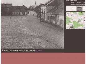
Virtual tour
Google Map
Google Street Map
Enter the Google Street Map views further below to join the virtual tour of Bodzentyn.
The first Google Street Map (70 Kielcka) starts with the location of the Jewish cemetery in Bodzentyn. On the right, you see the symbolic gate created in 2009 at the top hill. Use the arrow to the left in the Goggle Street Map, pointing towards the green sign "Bodzentyn", to continue towards the city centre via Kielce street.
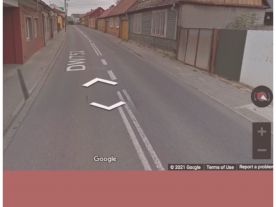
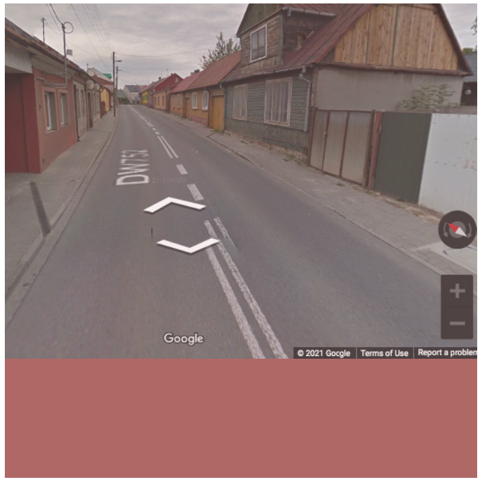
If you rather start closer to the city centre, choose the second map (14DW752). The starting point is Kielce street no. 13, where Dawid Rubinowicz stayed with his cousin Anczel Cislowski in the open ghetto in 1942. (The house no longer exists but was located in the opening on the right-hand side of the street, next to the green-coloured house.) Use the arrow in the Goggle Street Map to continue towards the Lower Market, Rynek Dolny (Plac Żwirki).
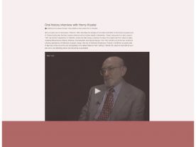
Additional resources
©
We are looking for inspiration and ideas! If you know about more websites, tools, or other resources that you consider useful, please share them with us!